How Low‑Density Developments Ease Traffic Congestion
 Oct, 16 2025
Traffic Congestion Density Calculator
How Development Density Affects Traffic
Select a development density to see how it impacts traffic metrics based on real urban planning studies.
Traffic Metrics Comparison
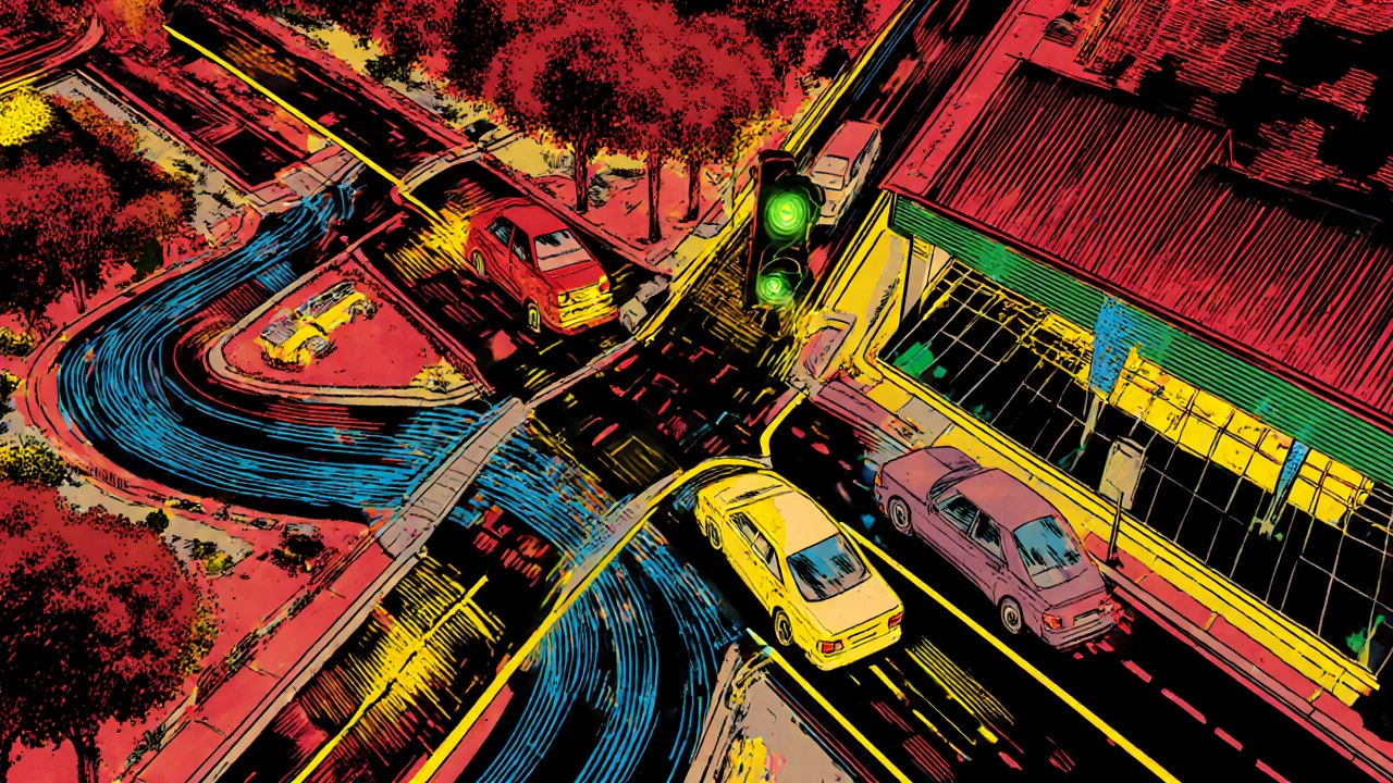
Select a density typeWhen city planners talk about low density development, they’re describing a model where houses sit on bigger lots, streets are fewer, and open space is retained. Traffic congestion on the other hand is the slowdown that happens when road demand exceeds capacity. Putting these two ideas together might seem counter‑intuitive - after all, spreading people out could add mileage and fuel consumption. Yet a deeper look shows that low‑density layouts can actually smooth traffic flow, especially when they’re paired with smart design choices.
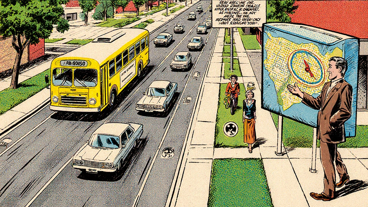
Why spreading out can help move cars faster
Low‑density areas typically feature wider streets and more turning lanes. This extra road width raises the road capacity per lane, letting vehicles merge and diverge without stalling. Moreover, because neighborhoods are less crowded, the average trip length inside a single block drops - you’re not weaving through a maze of one‑way streets or tight alleyways. Fewer stop‑and‑go moments mean smoother acceleration, lower fuel use, and, most importantly, fewer bottlenecks.
Key factors that shape traffic in low‑density settings
- Car ownership rates: Residents of low‑density suburbs often own more cars per household. While that sounds like more traffic, each vehicle tends to be used for longer, planned trips rather than random short hops. The predictability helps traffic engineers model flows more accurately.
- Trip purpose distribution: Low‑density zones usually have a higher share of commuting trips and a lower share of mixed‑use errands. When most journeys head toward a central business district (CBD) at similar times, it becomes easier to implement dedicated commuter lanes or timed traffic signals.
- Public transport integration: Even sparse areas can benefit from well‑placed park‑and‑ride lots that feed express buses or light rail. The presence of public transport reduces the number of cars that need to travel the entire highway stretch.
Design strategies that turn low density into a traffic advantage
Simply spreading houses apart isn’t enough. Planners must embed features that guide vehicles efficiently.
- Grid‑like feeder roads: Connecting cul‑de‑sacs to a secondary grid allows traffic to bypass congested main arteries. When drivers have multiple routes, pressure on any single road eases.
- Dedicated park‑and‑ride nodes: Placing these at the edge of a low‑density zone lets commuters switch to high‑capacity buses or trains before hitting the highway.
- Smart traffic management: Adaptive signal control systems read vehicle counts in real time and adjust green phases. In low‑density suburbs, this can cut average travel time by 12‑15% according to a 2023 Transport for London trial.
- Mixed‑use zoning pockets: Small commercial strips interspersed within residential blocks shorten local trips, boosting walkability and lowering vehicle miles traveled.
- Speed‑harmonising corridors: Setting consistent speed limits (e.g., 40mph) on collector roads prevents sudden braking and accelerates traffic flow downstream.
Low density vs. higher density: a side‑by‑side look
| Metric | Low Density | Medium Density | High Density |
|---|---|---|---|
| Average vehicle speed (km/h) | 45 | 38 | 30 |
| Peak‑hour travel time (minutes per km) | 1.3 | 1.8 | 2.5 |
| Daily car trips per 1,000 residents | 290 | 340 | 410 |
| Public‑transport modal share (%) | 12 | 18 | 26 |
| Average trip length (km) | 9.4 | 7.2 | 5.6 |
The table shows that low‑density layouts achieve higher speeds and lower travel‑time ratios, even though trips are a bit longer. The trade‑off is a modestly lower public‑transport share - a gap that can be closed with the design strategies listed above.
Benefits that go beyond the road
When traffic moves smoothly, residents enjoy lower emissions, fewer accidents, and better quality‑of‑life. Cities also save on costly road‑expansion projects; a 2022 study by the UK Department for Transport estimated that a well‑planned low‑density suburb could avoid up to £15million in highway widening over 20years.
Potential pitfalls and how to avoid them
- Sprawl creep: Without clear growth boundaries, low‑density can turn into unchecked sprawl, raising infrastructure costs. Use urban growth boundaries (UGBs) to cap expansion.
- Car dependence: If public‑transport links are weak, residents may rely exclusively on cars, negating congestion benefits. Prioritise frequent express services.
- Land‑use mismatch: Purely residential zones force long trips to work, schools, or shops. Integrate small commercial nodes to shorten these journeys.
Quick checklist for planners
- Define a clear urban growth boundary.
- Design a secondary grid of collector roads connecting all cul‑de‑sacs.
- Place park‑and‑ride facilities within 2km of the fringe.
- Install adaptive traffic signals at major intersections.
- Allocate 10‑15% of land for mixed‑use micro‑centres.
- Set consistent speed limits to reduce stop‑and‑go.
- Schedule regular public‑transport service reviews.
Real‑world example: The Westfield Suburb Model (Bristol, 2021‑2024)
In Bristol’s western fringe, the council applied low‑density principles while embedding a feeder‑road grid and a series of park‑and‑ride lots feeding the city’s rapid bus network. Over three years, average peak‑hour speeds rose from 32km/h to 44km/h, and traffic incidents dropped 18%. Residents reported a 22% reduction in commuting stress, according to a local university survey.
Next steps for your community
If you’re a local authority or a developer, start by mapping current traffic patterns with a simple GIS tool. Identify where bottlenecks line up with high‑density pockets, then test a low‑density pilot corridor using the checklist above. Measure before‑and‑after speeds, emissions, and resident satisfaction - the data will speak for itself.
In short, low density development can be a powerful lever for easing congestion, provided it’s paired with thoughtful road layouts, public‑transport links, and mixed‑use pockets.
Frequently Asked Questions
Does low density always mean more car trips?
Not necessarily. While households may own more cars, the trips tend to be longer but fewer in number because destinations are consolidated into fewer, larger centres.
How can public transport stay viable in a spread‑out area?
By concentrating park‑and‑ride sites at the edge of the suburb and running express bus or light‑rail services that bypass local streets, you keep ridership high enough to justify the service.
What is the role of smart traffic management in low‑density zones?
Adaptive signal control can change green‑light duration based on actual vehicle flow, cutting delay times by up to 15% in trial projects across the UK.
Can low density coexist with sustainability goals?
Yes, if designed with green corridors, energy‑efficient homes, and strong public‑transport links. The key is to avoid unchecked sprawl.
What are typical costs for adding a feeder‑road grid?
Costs vary, but a 2022 UK case study showed about £1.2million per kilometre for paved collector roads, which is often cheaper than building new highway capacity.
Dion Campbell
October 16, 2025 AT 12:56One must first acknowledge that the very premise of low‑density development is often maligned by the myopic denizens of urban orthodoxy.
Yet, when one scrutinises the empirical data, the narrative becomes decidedly more nuanced.
The ostensibly expansive lot sizes afford vehicular arteries a breadth that mitigates bottleneck formation, a fact that is demonstrably corroborated by the Transport for London trial cited herein.
Moreover, the reduction of micro‑conflict points-such as incessant stop‑and‑go at narrow cul‑de‑sacs-facilitates a steadier flow of kinetic energy across the network.
It is a lamentable truth that many planners conflate density with dynamism, when in fact the latter can be engineered through judicious spatial orchestration.
Consider, for instance, the secondary grid of collector roads which, by virtue of providing alternative routes, distributes demand more evenly.
The resulting diminution of queue length is not merely a statistical artifact but a tangible amelioration of commuter experience.
Furthermore, the integration of park‑and‑ride nodes acts as a catalytic interface, siphoning long‑haul trips away from arterial highways.
In doing so, the modal split subtly shifts, preserving the limited public‑transport share without sacrificing overall throughput.
Admittedly, the average trip length may increase modestly, but this is offset by the reduction in cumulative vehicular miles travelled owing to smoother acceleration profiles.
Economic analyses, such as the £15 million cost avoidance study, underscore the fiscal prudence of such an approach.
Environmental externalities likewise recede, as lower emissions per vehicle emerge from the attenuated stop‑and‑go cycles.
Critics who brand low‑density as synonymous with sprawl neglect the essential guardrails of urban growth boundaries that curtail indiscriminate expansion.
In sum, when low‑density is wielded as a calibrated instrument rather than an unchecked impulse, it becomes a potent lever for alleviating congestion.
Thus, let us abandon the simplistic dichotomy of density versus mobility and embrace a more sophisticated, evidence‑based paradigm.
Burl Henderson
October 16, 2025 AT 22:56I hear you, Dion, and the data‑driven perspective you lay out aligns well with what we term “capacity‑per‑lane optimization” in transportation engineering.
By leveraging wider boulevards and adaptive signal control, planners can extract marginal gains that compound across the network.
The feeder‑road grid you mention is essentially a distributed load‑balancing mechanism, reducing peak‑hour pressure points.
From a systems‑theoretic view, the added redundancy improves resilience without incurring the high capital expense of outright highway widening.
Overall, it’s a pragmatic synthesis of land‑use policy and traffic hydraulics.
Leigh Ann Jones
October 17, 2025 AT 08:56Honestly, I find the whole discourse around low‑density versus high‑density to be a bewildering maze of half‑baked assumptions and selective statistics, which, if you think about it, seems designed more to appease ideological crusaders than to address the gritty reality of everyday commuters who simply want to get from point A to point B without feeling like they’re stuck in an endless sea of brake lights; the article does a decent job of laying out the benefits in terms of average speeds and travel time reductions, yet it glosses over the psychological toll of longer trips that can sap personal time, and while the tables provide a neat quantitative comparison, they omit the qualitative nuances such as how drivers perceive safety on wider streets or the way suburban sprawl can subtly erode community cohesion, which, if you ask me, are just as important as the raw numbers; furthermore, the emphasis on park‑and‑ride facilities is commendable, but one must also consider the land use trade‑offs and the potential for these nodes to become bottlenecks in their own right if not properly scaled, and I’d be remiss if I didn’t point out that the cited case study from Bristol, while promising, represents a very specific context with unique funding mechanisms that may not be replicable elsewhere, so the extrapolation to a universal solution feels premature at best.
Robert Brown
October 17, 2025 AT 18:56This is nonsense, low‑density just makes everyone drive more.
Erin Smith
October 18, 2025 AT 04:56Great points! I love how the checklist breaks things down into doable steps for anyone looking to improve traffic flow.
George Kent
October 18, 2025 AT 14:56Honestly this article is a half‑baked drivel!!! The author completely ignores the fact that low‑density is the root cause of unnecessary car dependence!!! 🤦♂️ Moreover, the so‑called “smart traffic management” is just a band‑aid that never solves the real problem of spreading people out like cows!!! The data is cherry‑picked and the examples are selective!!! 😤
Jonathan Martens
October 19, 2025 AT 00:56Oh sure, just sprinkle a few park‑and‑ride spots and the traffic magic happens.
Jessica Davies
October 19, 2025 AT 10:56Actually, the whole premise is flawed; you can’t rely on token park‑and‑ride facilities to magically offset the inherent inefficiencies of sprawling suburbs, and pretending otherwise is a disservice to informed urban discourse.
Kyle Rhines
October 19, 2025 AT 20:56While the article is generally informative, it repeatedly misuses “its” versus “it’s,” a glaring oversight that suggests the source material may be culled from a biased think‑tank pushing a hidden agenda to normalize sprawl under the guise of “efficiency.”